
具体描述
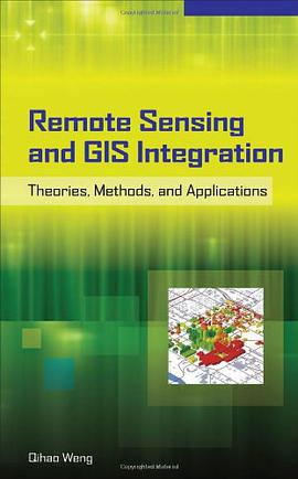
Maximize a geographical information tool by incorporating it with up-to-date remotely sensed data. GIS is predominantly a data-handling technology, while remote sensing is a data retrieval and analysis technology. This book addresses the need to combine remotely sensed data with cartographic, socioeconomic, and environmental data and GIS functionalities. "Remote Sensing and GIS Integration" begins with theoretical discussions, followed by a series of application areas in urban and environmental studies that employ the integration of remote sensing and GIS. Each application area is examined through analysis of state-of-the-art methods and detailed presentations of one or more case studies.
作者简介
目录信息
读后感
评分
评分
评分
评分
用户评价
相关图书
本站所有内容均为互联网搜索引擎提供的公开搜索信息,本站不存储任何数据与内容,任何内容与数据均与本站无关,如有需要请联系相关搜索引擎包括但不限于百度,google,bing,sogou 等
© 2026 book.quotespace.org All Rights Reserved. 小美书屋 版权所有


