
具体描述
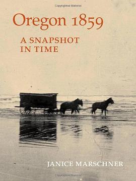
Oregon became the 33d state in the Union on February 14, 1859. Portland had wooden sidewalks, and gold glittered in southern Oregon streams. Towns like Lookingglass, Needy, and Sodaville were springing up all around. It is a time to remember - and to revisit - today, 150 years later, with this detailed and lively guide. Janice Marschner provides all you need to travel through each of Oregon's 19 original counties at the moment of statehood: a map showing each county's 1859 place names and current reference points; the history of native peoples and settlers; early roads and bridges; the first homes, schools, stores, hotels, and churches; biographical sketches of notable individuals throughout the state; lists of family names from Applegate and Lovejoy to McLoughlin, Reed, and Zumwalt; and, sites to see. Historical photographs show the determined faces of natives and settlers; their oxen and wagons on wide, rough roads; their rafts and ferries on the rivers; and their towns under development. An inspiring, closeup portrait at the moment of statehood, "Oregon 1859" will light the way back for anyone who wants to see Oregon today as it was then.
作者简介
目录信息
读后感
评分
评分
评分
评分
用户评价
相关图书


本站所有内容均为互联网搜索引擎提供的公开搜索信息,本站不存储任何数据与内容,任何内容与数据均与本站无关,如有需要请联系相关搜索引擎包括但不限于百度,google,bing,sogou 等
© 2026 book.quotespace.org All Rights Reserved. 小美书屋 版权所有